Traveling west, our van was taking us higher in elevation and we were apprehensive how our physical fitness would respond in mountainous terrain and thinner air. We had spent six weeks hiking and biking in Florida, where climbing a set of stairs seemed equivalent with reaching the Sunshine State’s highest point. Were we up for climbing multiple switchbacks at elevations a mile or more above sea level?
Plus, when leaving White Sands National Park, we both were tired after walking through the dunes for just a few miles. Was this because of the elevation? The sandy terrain? The three days of interstate highway driving? We would soon find out at our next destination – Chiricahua (pronounced cheer – i – cow – ah) National Monument in the southeast corner of Arizona.
I had seen this national monument when previously reading maps (yes, I really like to study maps and can scan Google Earth for hours at a time). I thought perhaps the monument was too far south of Interstate 10 to be worth the time and effort to visit during this journey to the southwest. I want to do and see everything possible, but choices need to be made. When discussing travel ideas with fellow Travato owners, others highly recommended visiting Chiricahua. We always get great recommendations from fellow travelers, so I checked campsite availability in the monument during our drive west, and was very lucky to snag the last available campsite for a two night stay.
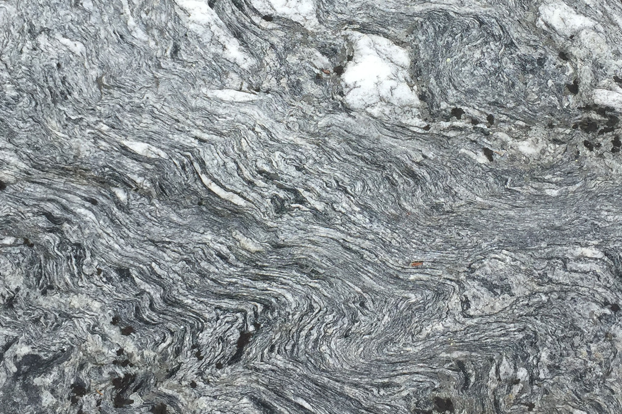
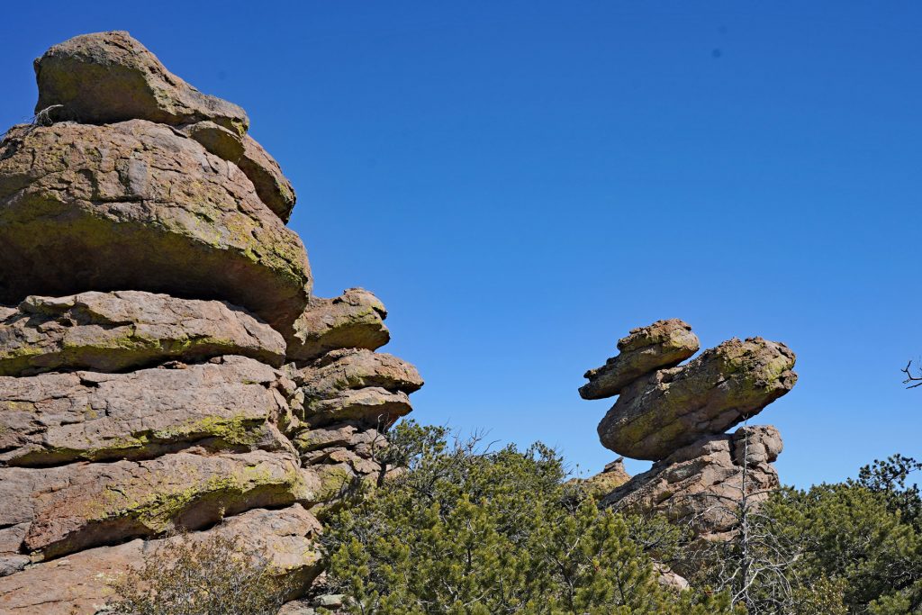
If we had taken the time to learn about Chiricahua prior to three days before our arrival, the national monument would have been high on our list of must-see locations. Called the “Land of Standing Rocks,” Chiricahua is filled with rock pinnacles, many with descriptive names like “Duck on a Rock” and “Punch and Judy.” The rocks formed about 27 million years ago – relatively young in the geologic record – when the Turkey Creek Volcano spewed ash over more than 1,000 square miles. The ash solidified and formed layers of a light-colored igneous rock called “welded tuff.” According to a geologic cross section we studied in the visitor center, the layers of gray, tan, and pale brown welded tuff are about 2,000-feet thick and resulted from many eruptions of the nearby volcano. Subsequent uplifting of the rock created cracks and joints in the tuff, which then were further eroded by ice and water and created the landscape of spires, pinnacles, columns, balanced rocks, and other unique shapes that is present today.
We arrived at the park on a Saturday afternoon with plans to take a long hike on Sunday. At the visitor center, we picked up a park map and copy of the “Chiricahua Hiking Guide”, a one-page list of hikes categorized as easy (flat, mile long walks), moderate (hilly, two- to five-mile hikes), and strenuous (seriously hilly, up to ten-mile hikes). Betsy studied the materials and listed off the route she proposed we take. I tallied up the trail mileages and said “okay, that’s a 13-mile hike incorporating nearly the most elevation gain possible. I guess we better wake up early tomorrow.” After a short hike that afternoon to stretch our legs and explore the campground (where we met another couple who owned a Travato, and shared travel recommendations), darkness came quickly as the surrounding canyon walls blocked the fading sunlight.
We woke up the next morning to an outside temperature of 32 degrees. We both questioned our decision in leaving Florida. The early start to the hike would need to be delayed, hoping the temperature rose a little. Just two months ago, we had snowshoed through the woods and skated on a frozen lake in Vermont, but now we were reluctant to head out in temperatures below 40. We were becoming soft.
At about 10 AM, with day packs full of water, food, and an extra layer of clothes, we finally ventured out from the campground, slightly chilled, but the sun was out. The first mile or so of the hike within the Lower Rhyolite Canyon was relatively flat allowing us to gradually warm up. We had infrequent glimpses of the rock columns higher up on the canyon walls. Then, the steady climbing began, with many sections of rock steps leading us higher toward the mountain ridge. The views opened up and we could see nearly endless rock pinnacles surrounding us as well as the flat Sonoran Desert to the west.
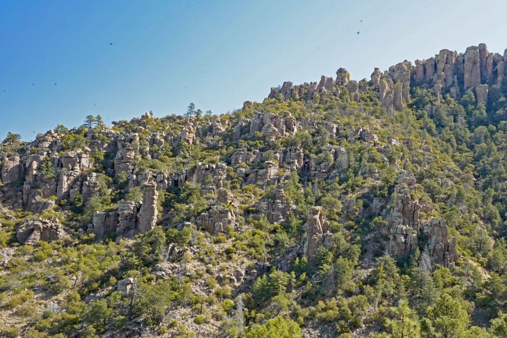
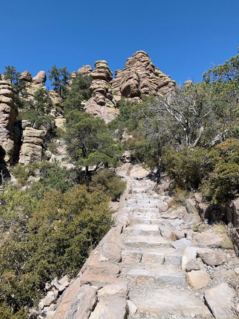
After gaining about 1,500 feet in elevation, we reached the ridge overlooking the most unusual rock formations, fittingly on a trail named “Heart of Rocks Loop.” We took a lunch break in a small col, protected from wind, and then set off scrambling up and down, in and out of the countless pinnacles. We’d take a few photos, hike fifty feet or so, and stop to take more photos. My camera memory cards began to fill up. We finally finished the loop about 1 PM, now about five miles into our hike. We had eight miles to go, and the sun set around 6 PM. We felt good, but should we turn back now? We decided to go up the trail another mile or so, and re-evaluate our situation then.
Of course, as soon as we hiked further up the ridge, our phones both began to ping as cell reception was received for the first time today. Progress slowed further, as we checked email, weather forecasts, and the news. Finally, I said we needed to move on now, or start heading down. I had forgotten to bring a headlamp, so night hiking was not an option. Checking the map again, we found a shortcut that would decrease our overall mileage by about a mile and a half and eliminate any more significant uphill hiking. This seemed like a good option.
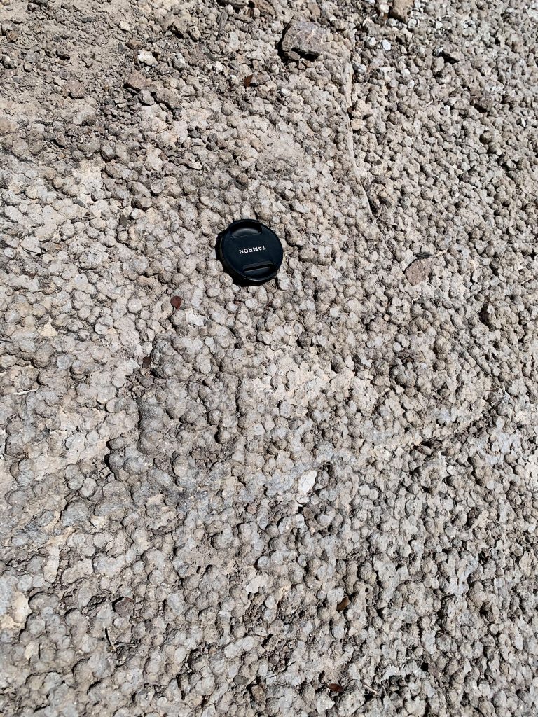
Our decision was right, the hiking became easier and we stayed on the ridge, and then began the long walk down on trails named “Mushroom Rock Trail” (yes, there was a pinnacle that was topped by a mushroom-looking rock), “Hailstone Rock” (or spherulites, marble-sized rocks formed when concentric layers of ash build up around a water droplet during the volcanic eruption), and “Upper Rhyolite Canyon.” As we descended, the wind picked up and dust blew into the canyon from the Sonoran Desert. It got colder, and we were getting tired.
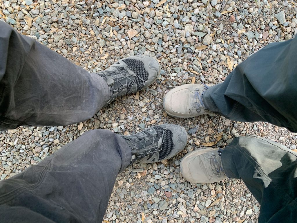
We reached the campground at about 4:30 PM, our shoes covered with gray and tan dirt. We were both tired, but not completely spent. We had felt the elevation (our maximum elevation reached was about 7,100 feet above sea level), but never felt completely out-of-breath. Maybe it was the scenery, the cool temperatures, or our discipline to regularly stop for water and snack breaks. Or maybe we were in adequate physical shape to overcome the uphill hiking and thin air. Whatever the reason, we both agreed this had been one of the best hikes we had ever done.
We highly recommend a visit to Chiricahua National Monument. One does not need to do the long hike we did. There is an eight-mile long road winding up to the top of the ridge for great vistas, and many short hikes with great scenery. In addition to the geology, there are also interesting Native American history and plant and animal life to discover in the monument.
One challenge down, more to come. In mid-March, we planned to be in Moab, Utah for a bicycle riding event including some challenging uphill climbs. Could we spin our way uphill? We were off to Tucson to get some warm weather bicycling in to prepare.
Final Chiricahua Hiking Stats: 11.5 miles hiked, 2,570 feet elevation gained, 6:00 hiking time, 28,796 steps, 220 photos taken (by Rob)
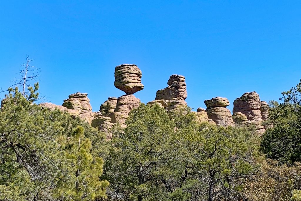
Pinnacles! 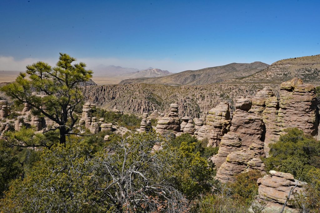
Looking toward the Sonoran Desert 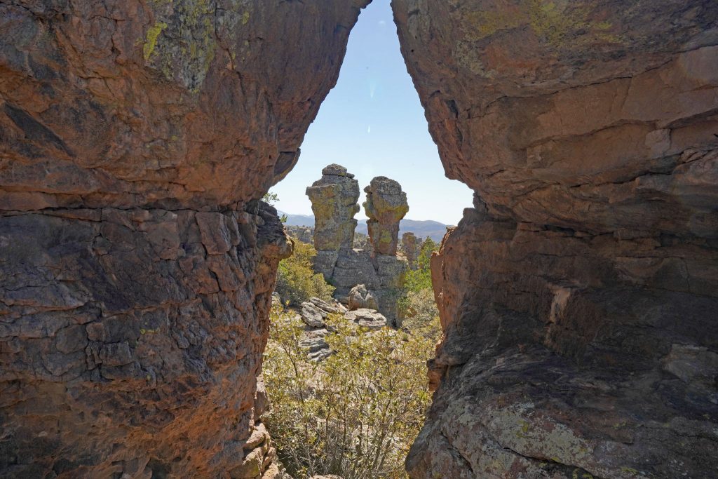
“Punch and Judy” 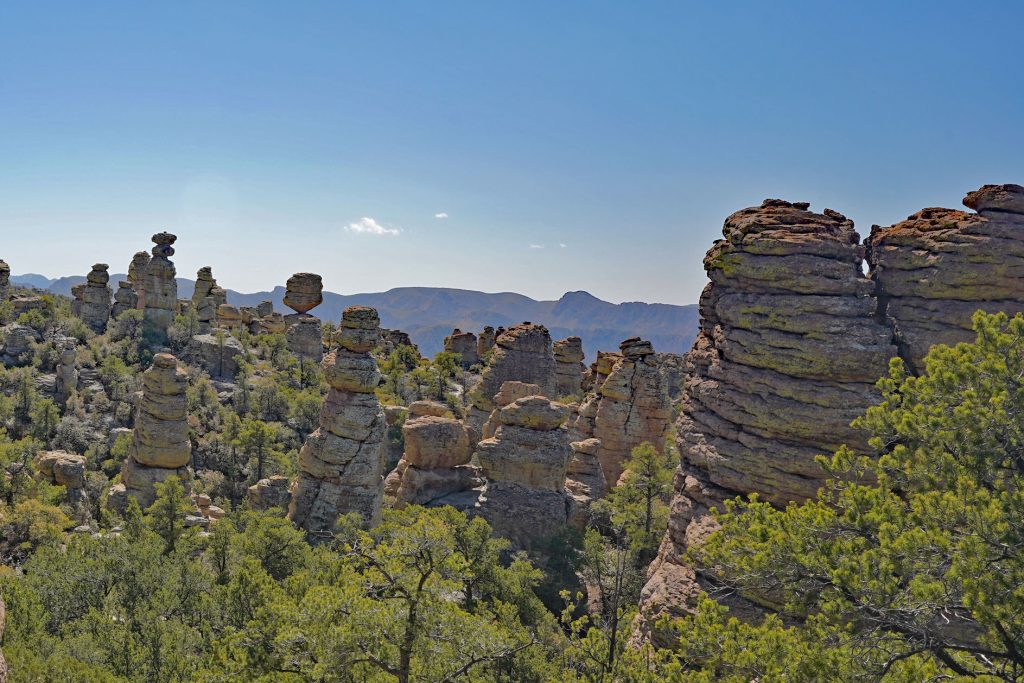
More Pinnacles! 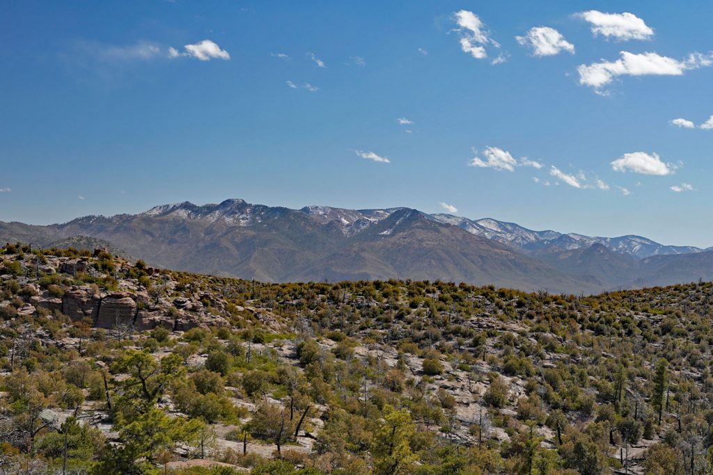
Snow-capped mountains to south
