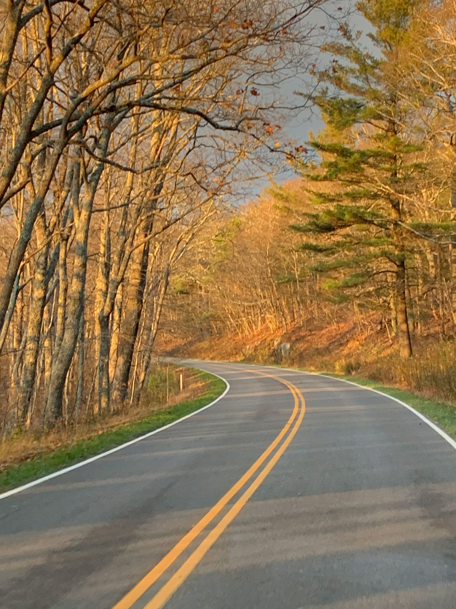
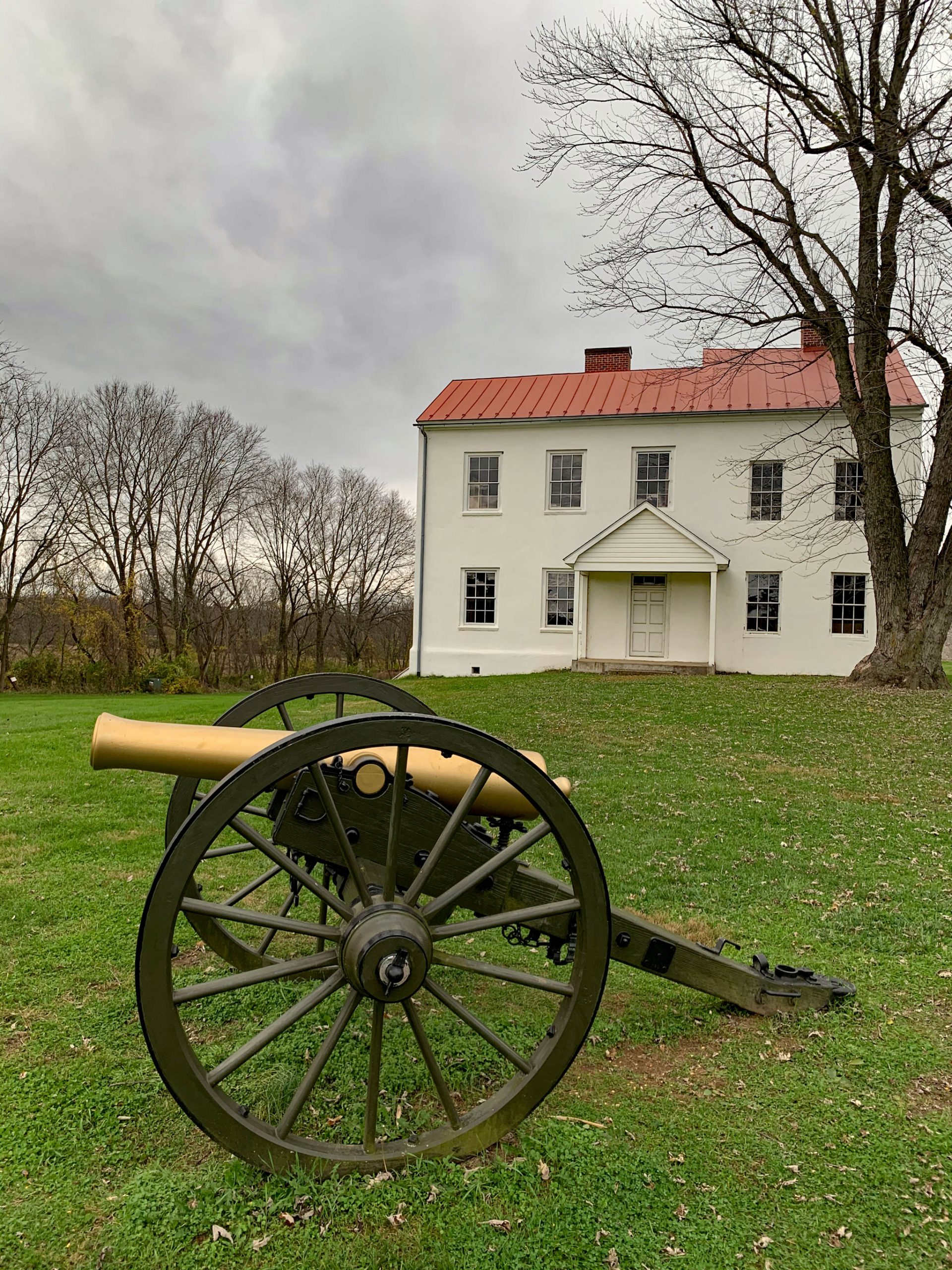
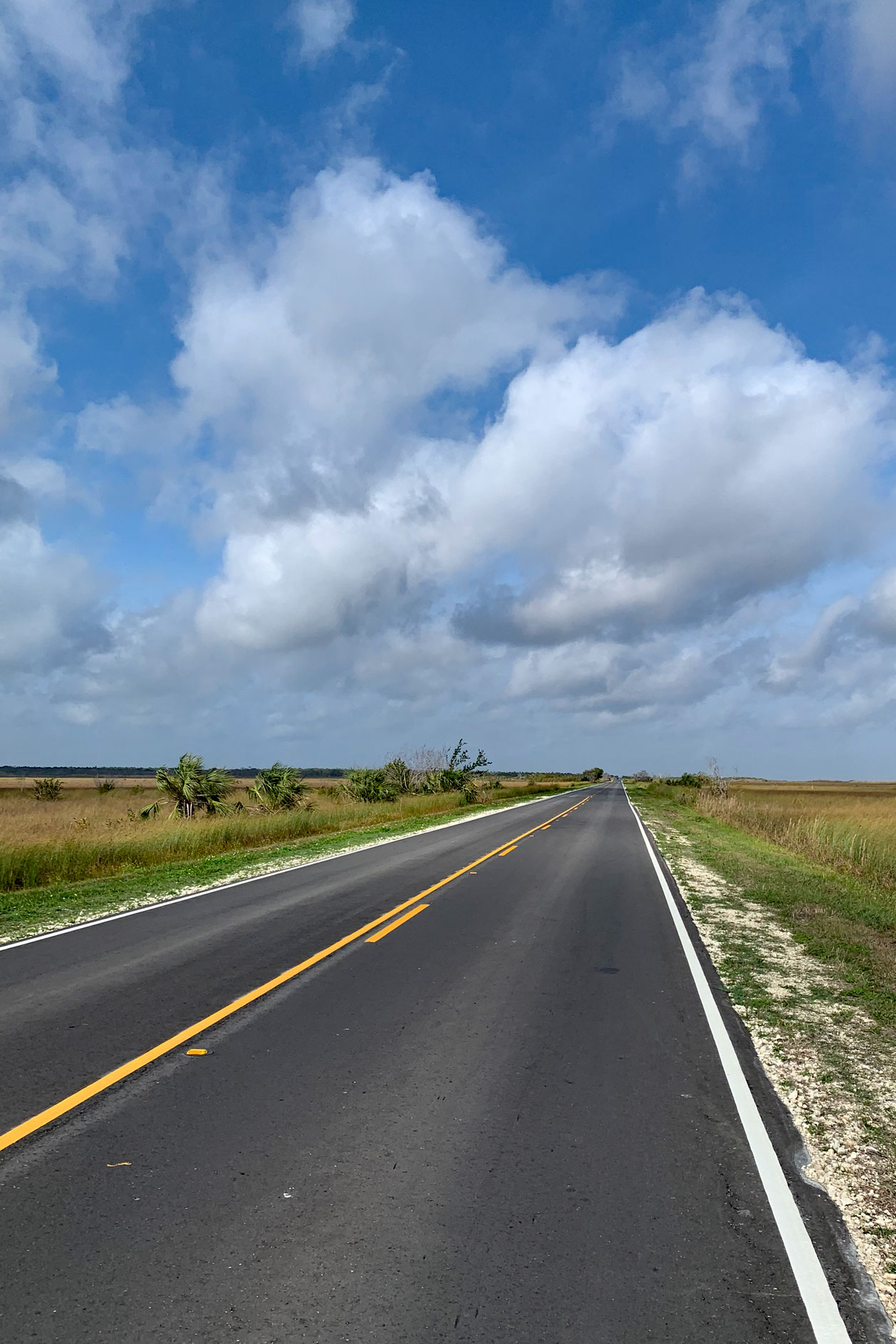
We’ve bicycled many miles on the road over the years. There are loops we rode countless times near our former home where we could divert around a pothole or prepare for a blind driveway with our eyes closed because of our familiarity with the route. But it can be difficult finding safe, enjoyable road routes when traveling in new areas, even when using the ride search function in apps such as Ride with GPS and Ride Spot. So, we’ve been on the lookout for multi-use trails physically separated from roads to explore and fulfill our bike riding fix.
There are a few trails that are on my bucket list including the Great Alleghany Passage in PA, the C&O Canal Towpath in MD, the Trail of the Coeur d’Alenes in ID, and the Little Miami Scenic Trail in OH. Many multi-use trails are converted abandoned rail lines or former towpaths along canals. An advantage of these trails is that any hills are typically gentle; a disadvantage of these trails is long straight flat relatively “boring” sections. I like diversity in my rides – up and down with winding curves, sort of like my favorite cross country skiing or mountain biking trails.
During our travel in Florida prior to the pandemic, we stumbled upon the Cross Florida Greenway multi-use path that does offer curvy ups and down, even in a state I don’t associate with a hilly topography. The Cross Florida Greenway is a 110-mile linear park from the Gulf of Mexico to the St Johns River east of Ocala, Florida. Currently, a 16-mile multi-use path is present within the greenway; extension of the trail is planned. The eastern terminus of the existing trail is conveniently located at the Santos Campground, a Florida State park with about 20 campsites and a clean wash house with unlimited hot showers. We stayed at the campground for a few nights and enjoyed multiple rides on the wide trail. We even were denied access to a portion of the trail due to a controlled forest fire burn being conducted nearby. Riding through a recently burned zone was an eerie experience as we could see heat continue to rise from the blackened earth. The entire 16-mile route currently has only two at-grade crossings requiring a check of crossing traffic. Other road crossings use tunnels or bridges specifically installed for the multi-use path. On our rides we encountered many riders, runners, rollerbladers, and walkers, but appropriate trail etiquette was commonplace and “on your left” calls announced swifter riders approaching us from the rear. (Okay, I’ll admit my cycling cadence often increases when someone passes me. What do you call two men cycling together? A race!)
The backstory behind the Cross Florida Greenway also provided some historical lessons. The idea of a cross Florida canal dates back to the late 1500’s. The idea was to create a shorter shipping route between the Atlantic Ocean and the Gulf of Mexico to avoid treacherous shoals and piracy around the Florida Keys. Efforts though the 19th century failed to initiate canal construction. Funding for the project was first approved during the Great Depression – the construction would be one of the many economic recovery programs. The idea was for a 30-foot deep waterway connecting the St Johns River with Yankeetown, a community north of Tampa. Construction began in the mid 1930’s near Ocala. Like too many public works projects, one of the early actions was to destroy the African American community of Santos because it was located in the path of the planned canal. Today, there are a series of historical markers around Santos commemorating the former vibrant African American community.
Environmental concerns, including the potential saltwater intrusion into freshwater aquifers and impact to the Ocklawaha River (the last wild river in Florida), ultimately stopped construction of the canal. Federal funding in the 1940s and 1960s did result in the completion of land clearing and some excavation along the canal’s path. However, President Nixon halted the project via an executive order in 1971, stating “…I am today ordering a halt to further construction of the Cross Florida Barge Canal to prevent potentially serious environmental damage. . . . A natural treasure is involved in the case of the Barge Canal – the Ocklawaha River – a uniquely beautiful, semitropical stream, one of the very few of its kind in the United States, which would be destroyed by construction of the Canal….” (Noll and Tegeder, 2015).
In 1990 the land was turned over to the State of Florida for conservation purposes. Today, the canal route, which in some areas is one mile wide, is named the Marjorie Harris Carr Cross Florida Greenway after the environmental activist and co-founder of the Florida Defenders of the Environment who lead opposition to the canal. In addition to the paved multi-use trail, there are a diversity of trails used by mountain bikers, walkers, and equestrians within the greenway. The complete history of the Cross Florida Canal is presented in the book titled Ditch of Dreams (Steven Noll and David Tegeder, 2015).
I do miss the routine of riding the same biking loop, tracking my fitness as I struggle up hills and watching the change in scenery from Spring to Fall. But I’m really excited to ride in new places and along trails that I’ve read about or find in our travels. I know we will return to some of these new bike routes over the next few years during our travels. The Cross Florida Greenway trail definitely is one I’m sure we’ll do multiple times in the next few years as we look forward to its expansion.
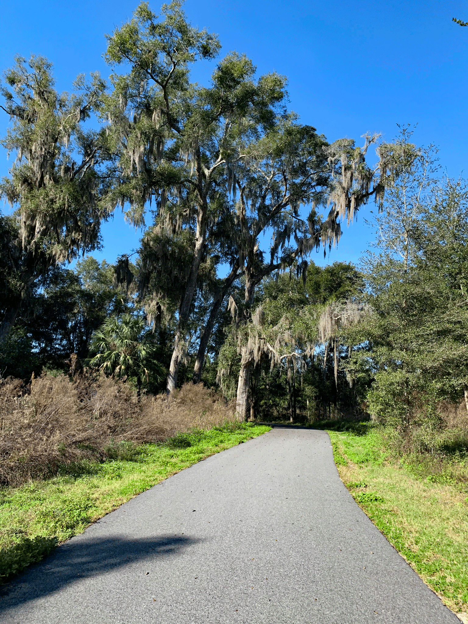
Along the path 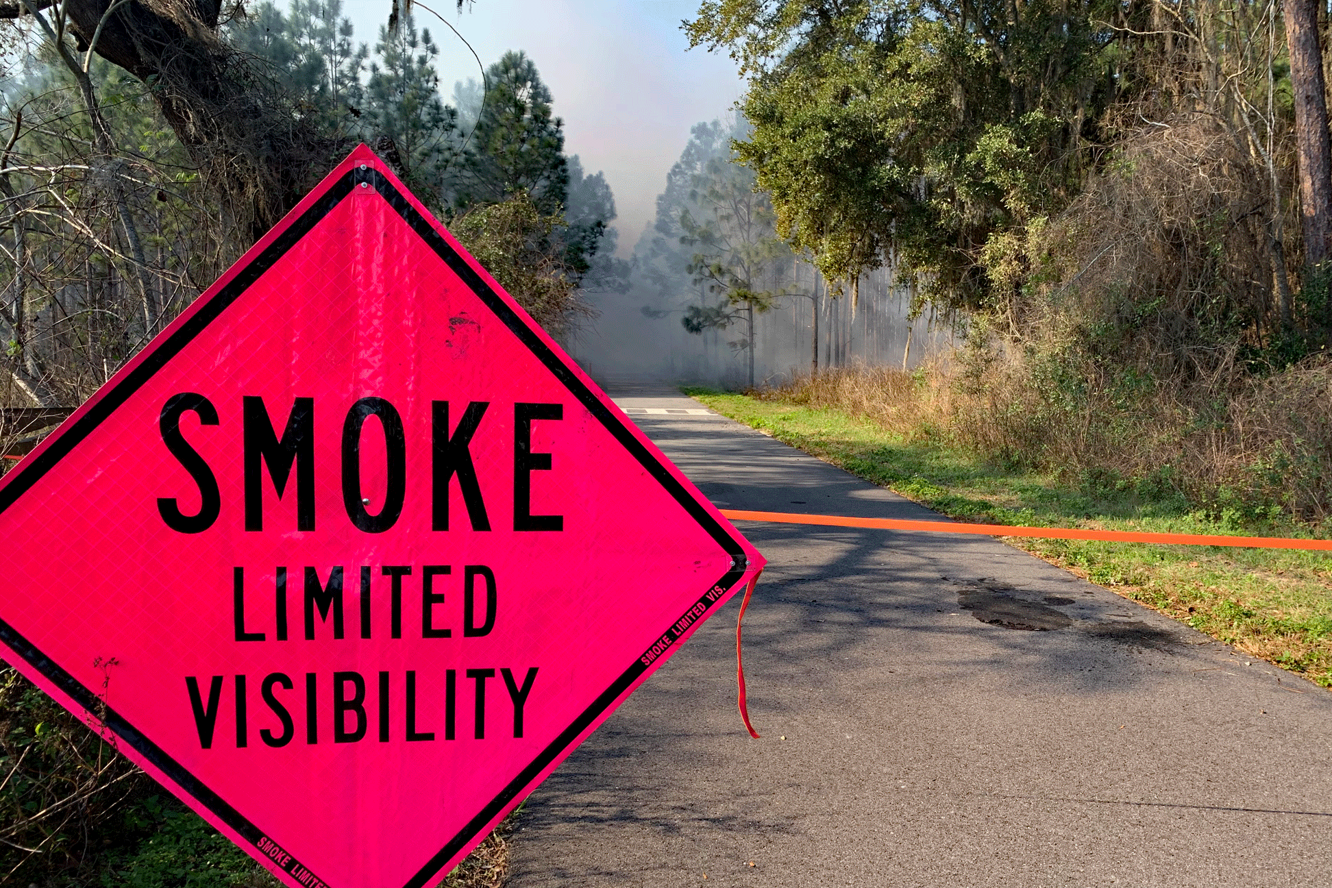
A controlled burn blocked further cycling 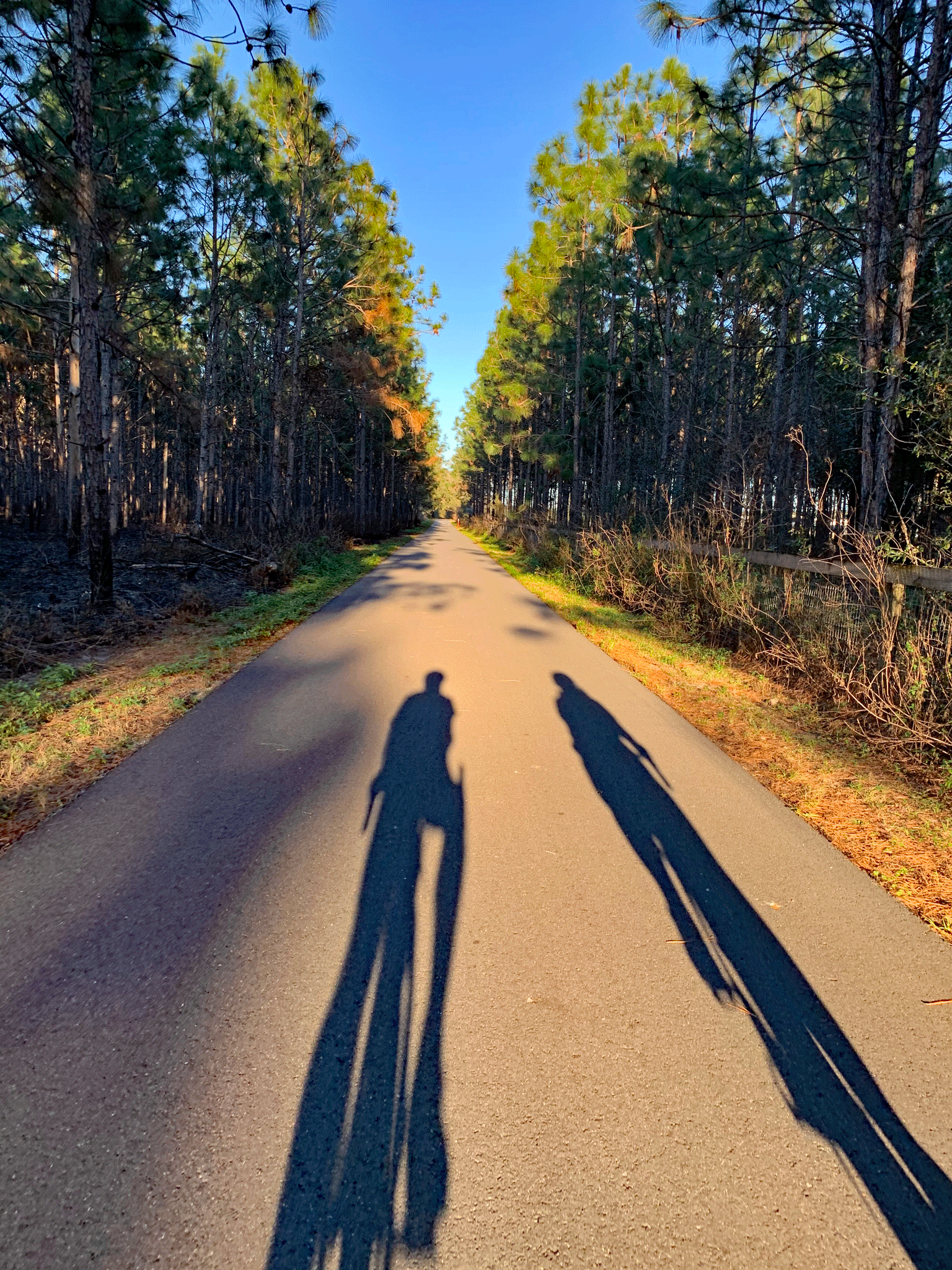
Late afternoon cycle 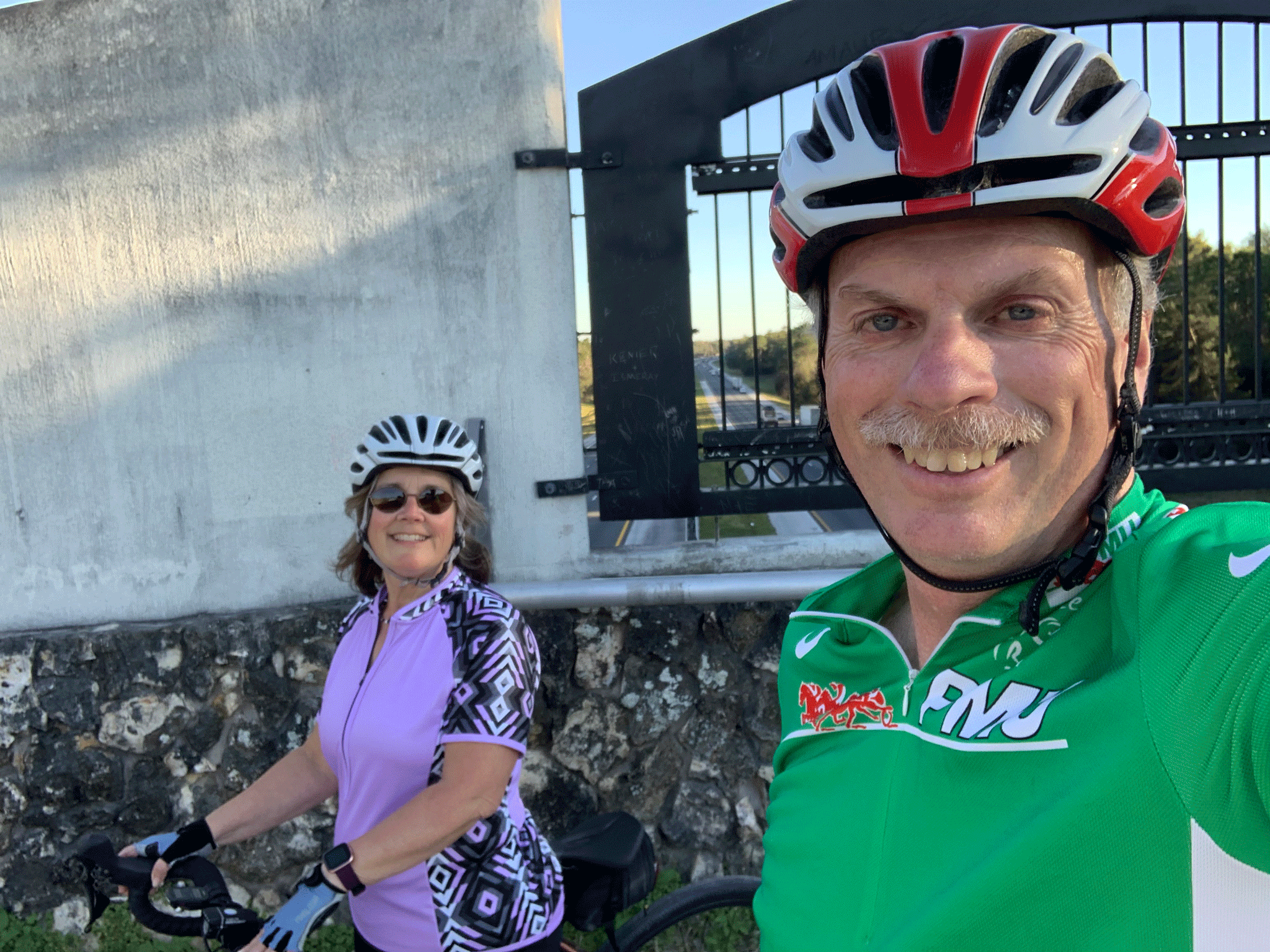
On the Land Bridge over I-75
