On a sunny day in August, we left our campsite at Grand Isle State Park and drove further north within the Lake Champlain Islands to Alburgh Dunes State Park, one of nine state parks in this small section of Vermont. We intended to use Alburgh Dunes as a starting point for a bike ride around the Alburgh Peninsula, North Hero Island, and Isle La Motte. Earlier in the week, on a cooler, windy day, we had walked along the sandy beach and through the black spruce bog at Alburgh Dunes. So when we arrived this time, we simply took the bikes off the campervan, filled our water bottles, started our Garmin cycle computers, and pedaled off.
The first part of the bike ride on North Hero Island consisted of a mix of flat straight stretches through farm fields and curvy, undulating sections along the Lake Champlain waterfront. The roads were well paved and nearly empty, but that didn’t prevent a six-wheeler dump truck from cutting in front of Betsy despite her flashing front and rear lights. I could hear her shout at the truck above the noise of its rumbling diesel engine.
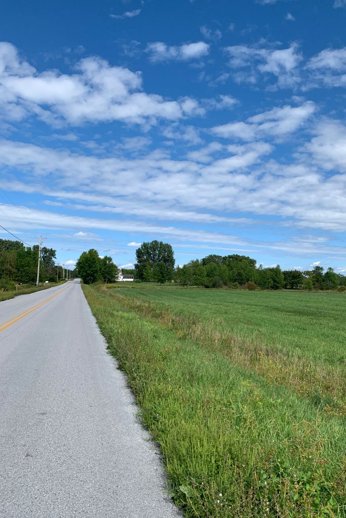
After crossing the causeway onto Isle La Motte from Alburgh Peninsula, we passed the Happy Bird Smokehouse (hmm, maybe barbeque chicken for dinner?), turned right onto Shrine Road, and began a steady climb. When we reached the top of the climb and looked down at a relatively short but steep descent ahead, I told Betsy to be prepared to stop as soon as we reached the bottom so we could check out a historic site.
I’ve learned to make sure I know where I intend to stop prior to beginning a descent on my bike. When I bikepacked across Colorado many years ago, my Uncle John arranged for me to stop and shower at a resort property in Durango. I was cycling into Durango on Highway 550, also called the Million Dollar Highway, known for its amazing vistas and three mountain passes over 10,500 feet in elevation. The last 30 miles of the ride, from Cool Bank Pass (elevation 10,640 feet) to Durango (elevation 6,500 feet) is all essentially downhill. So, I flew downhill eagerly anticipating a shower and maybe a soak in a hot tub. I arrived in Durango and asked for directions to the resort only to be told that I had passed the resort about 5 miles back up the hill. I was mad, but not mad enough to bike uphill for that length. I think I found a cold mountain stream to bathe in that evening. Refreshing, but not what I had anticipated. Lesson learned, know where you intend to stop prior to starting downhill.
Back to Isle La Motte, we smoothly stopped at the base of the hill to look around Sandy Point and gaze across Lake Champlain into New York State. Sandy Point was where Samuel de Champlain, guided by Algonquin Indians from Canada, landed on the Isle in 1609. A large granite statue depicts the occasion, with Champlain towering over a Native American guide. Betsy and I wondered whether perhaps this statue could use some signage to more appropriately honor the Native Americans’ role in assisting Champlain in his travel. A French fort and chapel, dedicated to St. Anne, was established at this location around 1666 as the southernmost fort to protect the French settlements in Montreal and Quebec from hostile attacks by the Iroquois. The fort and chapel were abandoned a few years after construction. In the mid 1800’s, the first Bishop of Vermont initiated a new Church of St. Anne at this location, and later in the 1800’s, St. Anne’s Shrine, a Roman Catholic shrine, was established. During the summer (in non-pandemic times), daily mass is held outdoors at this serene waterfront locale.
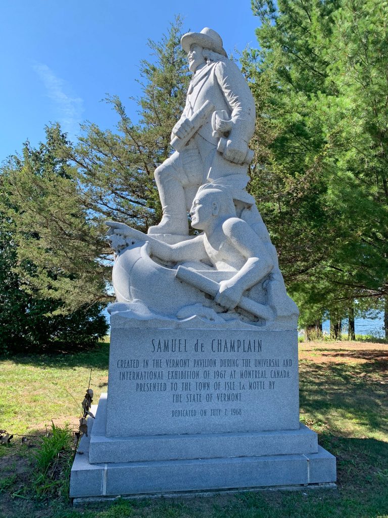
Champlain Statue 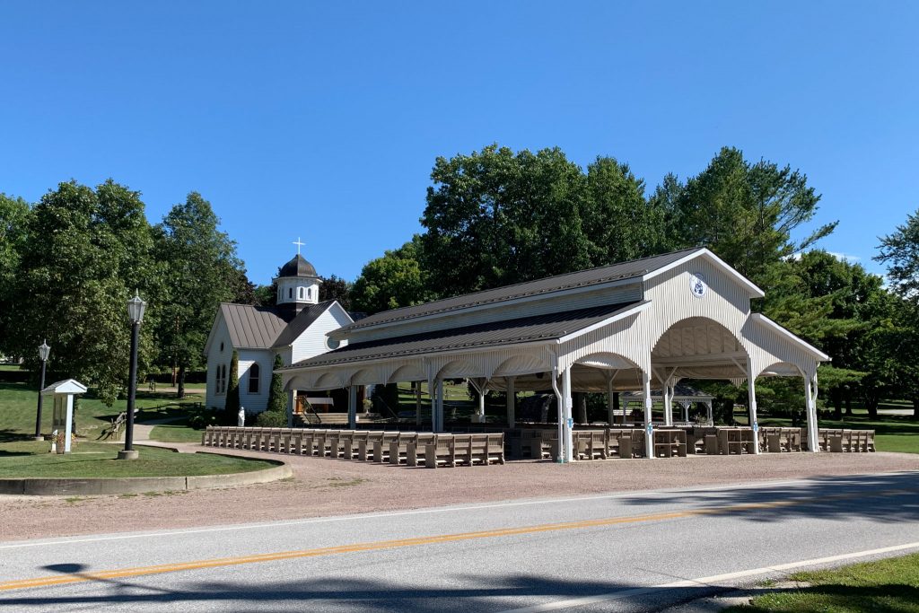
St. Anne’s Shrine
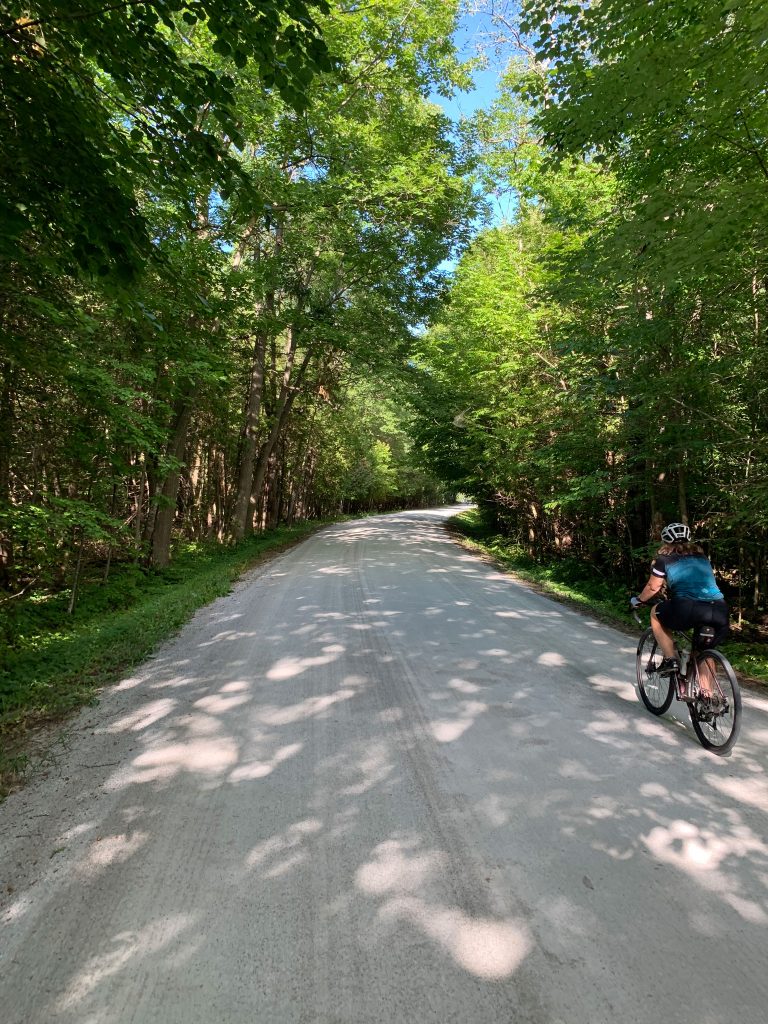
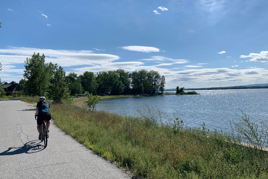
Getting back on our bikes, we pedaled south along the waterfront with great vistas of New York and the Adirondack Mountains to the west across Lake Champlain. The smooth asphalt road gave way to a dirt road and we were once again happy to be riding our gravel bikes with their 40 mm wide tires. We came upon the Fisk Farm further down the road. On September 6, 1901, Teddy Roosevelt, then vice president, was here preparing to speak at the annual meeting of the Vermont Fish and Game League when he learned President William McKinley was shot in Buffalo. Roosevelt left Isle La Motte to be with the President in Buffalo, but when McKinley seemed to be on the mend, Roosevelt departed for the Adirondacks to be with his family. On September 12, while hiking on Mount Marcy, the tallest peak in New York, Roosevelt was informed by telegram that McKinley was in grave condition. He hiked down the mountain, and began the trek to Buffalo, where on September 14th he became the 26th president of the United States.
Just beyond Fisk Farm, we came upon the Fisk Quarry Preserve, a property currently owned and managed by the Isle La Motte Preservation Trust. Nelson Fisk, in addition to hosting Teddy Roosevelt in 1901, formerly owned this limestone quarry adjacent to the farm. As a salesman, he liked to refer to his rock pit as a “marble quarry”, but this rock had not undergone the transformation by heat and pressure necessary to create a marble. Despite “simply” being a limestone, the grey and black rock ended up in great places. Rock from this quarry was used in the construction of the Vermont Statehouse, the Brooklyn Bridge, Radio City Music Hall, and the National Gallery of Art in Washington, D.C. Today, this rock and the adjacent limestone layers, collectively referred to as the Chazy Fossil Reef, are actually a United States National Natural Landmark and are recognized as the oldest known fossil reef in the world.
The origin of this limestone dates to the Ordovician Period, about 480 million years ago. At this location 480 million years ago, abundant ancient marine life lived in a shallow tropical sea along the equator. These organisms built a reef community initially of bryozoa (small branching organisms), and later of stromatoporoids (which are related to sea sponges), gastropods, cephalopods, and stromatolites. The current presence of this ancient reef deposit in Vermont at latitude 44.88 degrees north is one piece of evidence of plate tectonics, the movement of rigid portions of the earth’s crust over the underlying mantle.
The bedrock on Isle La Motte is tilted, so a walk from south to north actually crosses reef deposits dating from oldest to newest. Observations also have documented faunal changes within the reef deposits that represent succession, or the adaptation of organisms to changing conditions. Signage at Fisk Quarry notes one scientist has exclaimed “Your island is a time capsule of ancient reef building.”
While I consider myself a “hard rock” geologist who likes to wonder at the amazing granites of Yosemite and Acadia, I do appreciate the hunt for fossils given the opportunity. Betsy, though, is much more gifted at finding and identifying the ancient critters. We walked around a portion of the former quarry, scanning the limestone for fossils. For us, searching for fossils is similar to others’ delight browsing the stacks at a library or seeking treasures at a flea market. Betsy found many fossils, while I struggled to identify former life in the grey rock. Finally, I found that previous fossil hunters had left pebbles circling some fossils, so Betsy did as well, and with this Anthropocene clue, I had more success finding Ordovician fossils.
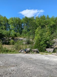
Searching for Fossils 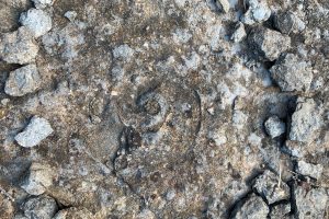
Cephalopod 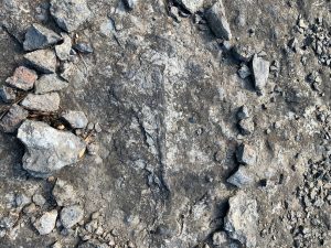
Likely a Crinoid 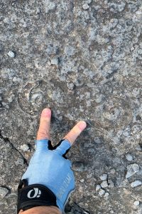
Cephalopods, Fisk Quarry, Isle La Motte, VT
The day was getting late and we had more miles, and a few hills, still to cover. Other attractions on Isle La Motte, including the Goodsell Ridge Preserve (more fossils!), the Isle La Motte Historical Society (a museum), and Hall Home Place (a winery!) would need to wait for another post-pandemic visit. After cresting the last hill on Isle La Motte, we coasted downhill, past Happy Bird Smokehouse (oh well, there goes barbeque chicken for dinner, I’ve already forgotten my lesson on descending), and crossed the causeway back to Alburgh Peninsula. As we pulled up to our van, the sun setting on a wonderful August day, Betsy said “How about pizza?” I smiled, quickly hoisted the bikes back onto the van, and began the drive to the nearest pizzeria.
The ride’s final stats: 32.8 miles, 810 feet of elevation gain, and 30 miles per hour maximum speed downhill.
