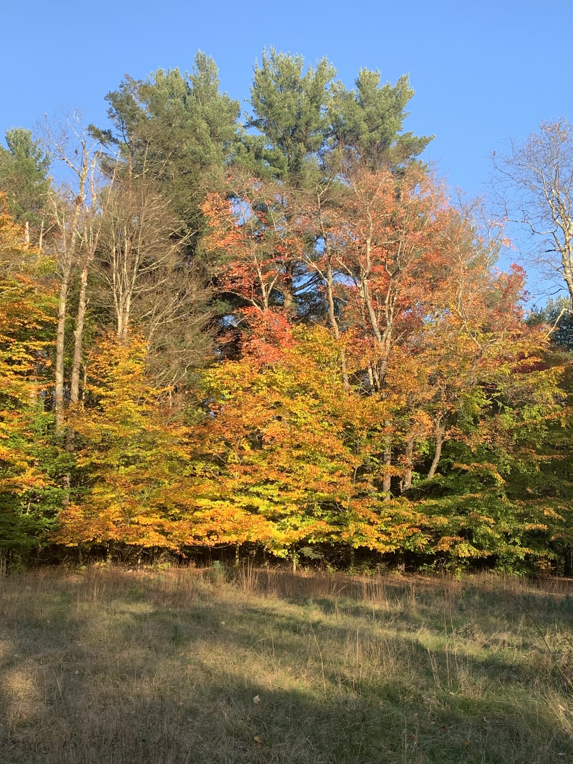
Some travel days, we know our route in detail – where we’ll get gas, where we’ll take a break for a walk, where we’ll stop for the night. Other days, we only know the direction we’re heading and everything else is a surprise (good or bad). When leaving Grand Canyon after our short visit, we headed northeast toward lower elevations and slightly warmer weather, but with no set plan for the day’s activities or destination. On this particular day, the surprises turned out to be good.
Our first stop was actually in Grand Canyon. We returned to Mather Point for the opportunity to view the canyon walls once more, this time in the morning light. We also thought the viewpoint might be less crowded in the morning because of the lingering cold temperatures from the prior night. Turns out, we were right about the smaller crowd.
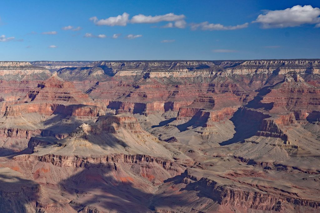
Grand Canyon may be one of the best-known locales exhibiting stratification, or the layering that occurs in sedimentary rocks. While standing at Mather Point, we looked over the relatively horizontal rock layers spanning about 3,500 feet in elevation, from the Kaibab Limestone, a resistant, cliff-forming rock layer which caps the canyon walls, downward to the Tapeats Sandstone, which lies near the bottom of the canyon on top of an unconformity with the underlying Vishnu Basement rock (metamorphic schists and gneisses). We both snapped a few photos, but the cold wind discouraged us from lingering too long, so we scampered back to the van to warm up. I think Stop #1 was a success, hopefully demonstrated by this photo of the canyon in the morning light.
Because the eastern entrance to the park was closed due to the pandemic, we initially re-traced our path through the park’s southern entrance and then southeastward to Flagstaff, where we had our second stop to fuel up the van and to grab a brief snack in a vacant store’s parking lot. Yes, not very glamorous, but it was effective and safe. While eating, I scanned the map and realized that Sunset Crater Volcano National Monument was only a few miles off our intended route heading north out of town. With a mouth full of peanut butter and crackers, I mumbled we should stop and see if we could go for a walk. Betsy’s head nodded, her mouth full of sunflower butter and apple slices, and a plan was formulated. Stop #2, a random parking lot, was a winner, simply because my growling stomach was quieted.
Our third stop of the day was in a location that had more similarity with Volcanoes National Park, some 2,800 miles west on the island of Hawaii, than Grand Canyon National Park, a mere 60 miles to the northwest. The 3,000-acre Sunset Crater Volcanic National Monument protects the environment surrounding a volcano that erupted about 950 years ago. The colorful sedimentary rock formations so neatly layered and visible in Grand Canyon are not viewable here. Instead, black and gray blocky lava flows meander through the pinyon pine forest and black granular cinder cones, with islands of green vegetation, rise into the sky. We later learned that the San Francisco Volcanic Field present in this area includes more than 600 volcanic vents.
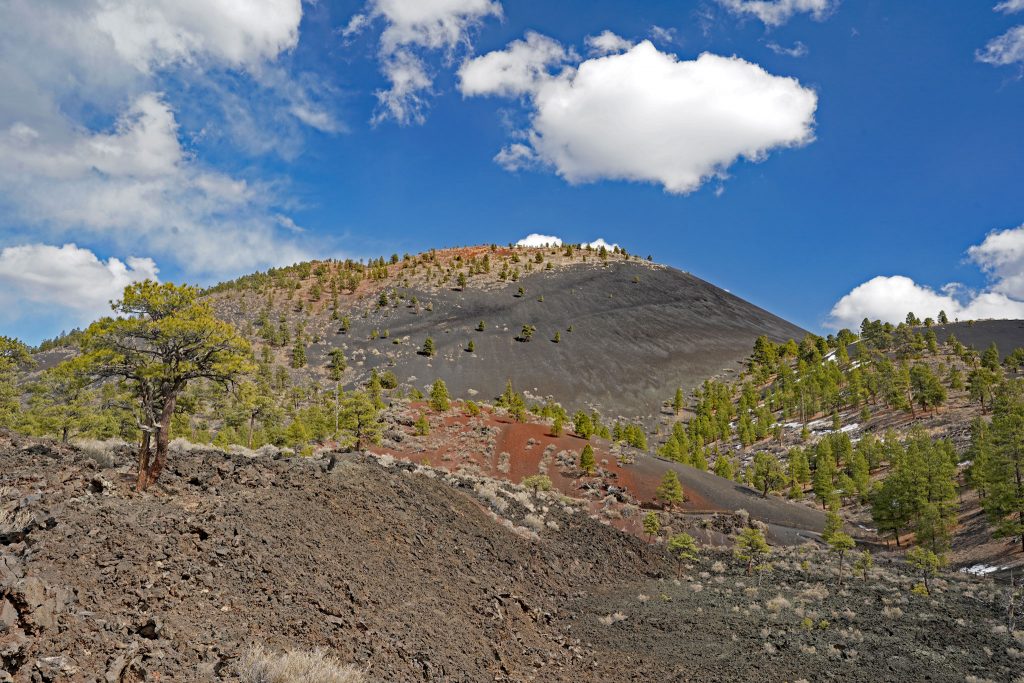
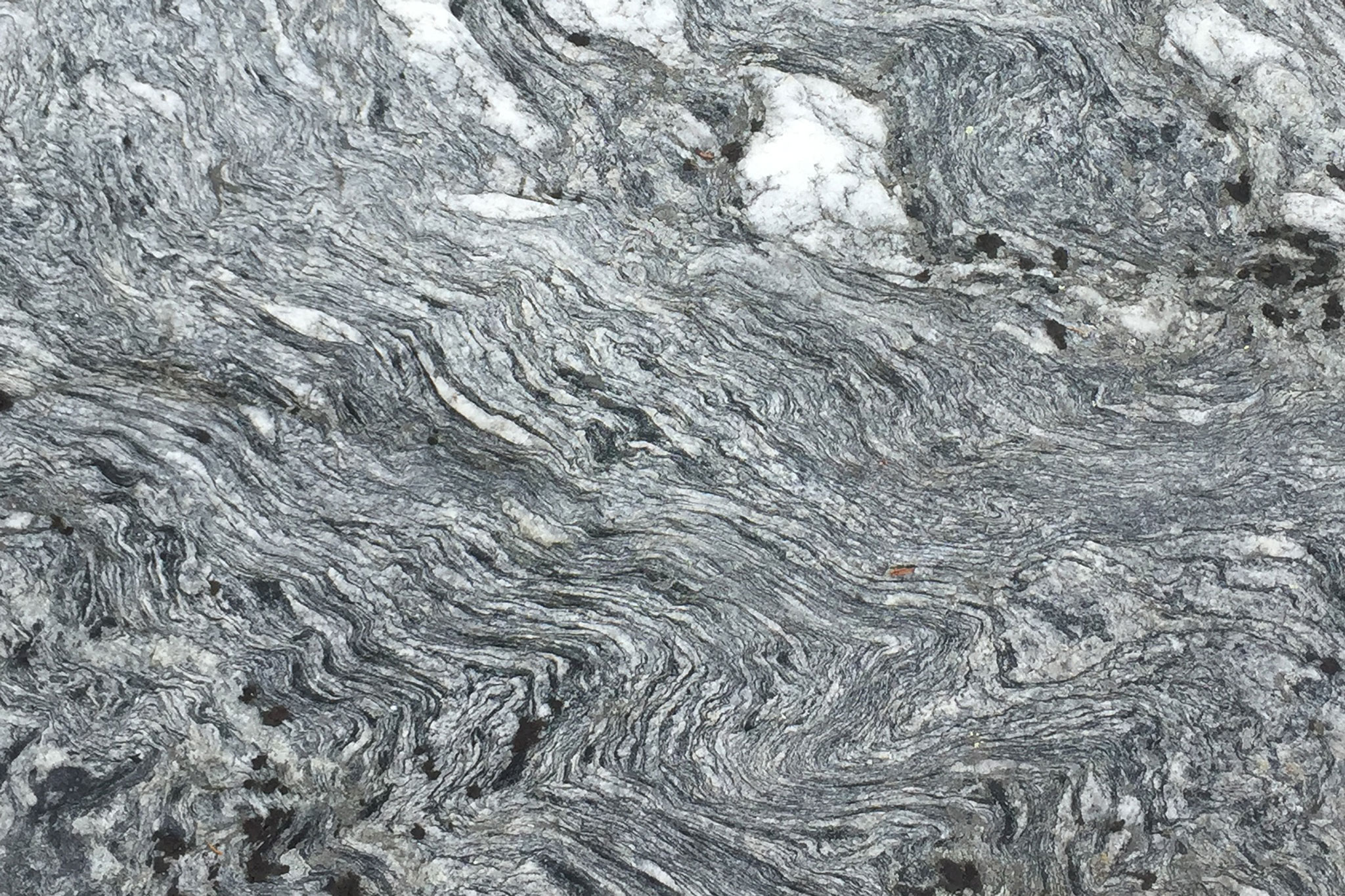
On this chilly day, we explored two trails in the park. First, we followed the A’a Trail, a very short 0.2-mile loop through the Bonito Lava Flow. We learned in our introductory geology classes many years ago that there are two primary types of lava flows: a’a (characterized by a rough, chunky, fragmented surface) and pahoehoe (smooth, unbroken lava often looking ropey in nature). I can remember thinking in class how exotic these terms were and hoping to get to Hawaii some day to see lava flows in person. Little did I know that one day I would see the Grand Canyon and a’a lava on the same day! The differences in the lava flow types are primarily due to the volume of lava – a high discharge-rate eruption usually produces a’a flows (as well as fountains of lava) while a low discharge-rate eruption produces pahoehoe.
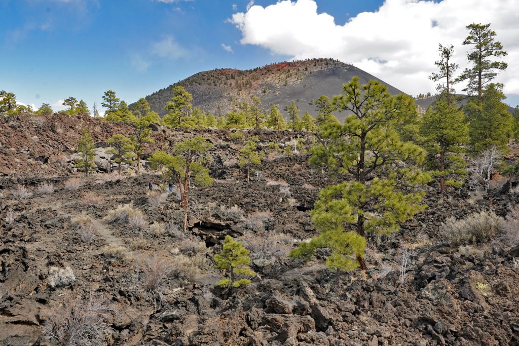
Our walk on the A’a trail reminded us of our visits to lava flows in Hawaii (yes, we are lucky enough to have been to Hawaii a few times), albeit the surrounding vegetation, mostly pinyon and ponderosa pines here in Arizona, reflects a relatively dry mountain environment, not the tropical environment found in much of Hawaii. Spanish Conquistadors who explored this area in the 1500s accurately named the surrounding mountain peaks “Sierra Sinagua” meaning Mountains Without Water. This name did not last; instead they became the San Francisco Peaks, named after Saint Francis of Assisi by Franciscan Friars in the early 1600s.
Our second walk, about a mile in length, followed the Lava Flow Trail. Again, we hiked over and around the a’a lava, but on this loop we encountered a spatter cone (where a fountain of lava flowed up through an opening in the cooled surface of the flow) and a “squeeze-up” (where molten lava oozed out through a linear crack in the cooled, hardened lava). It was really cool to see these features.
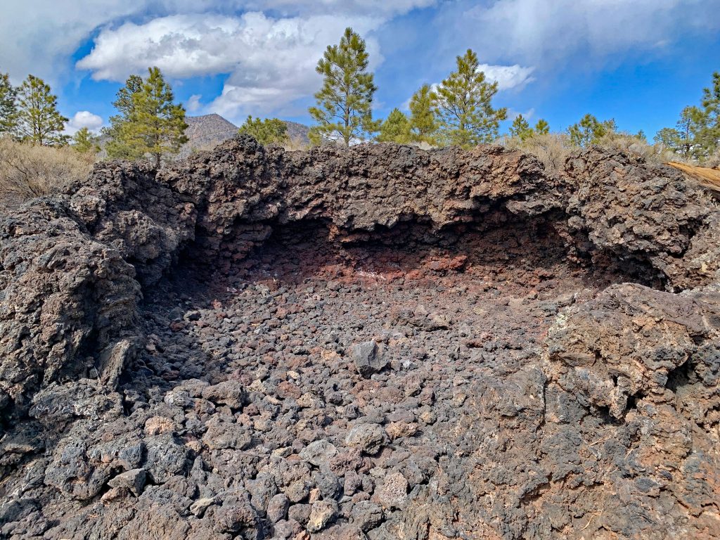
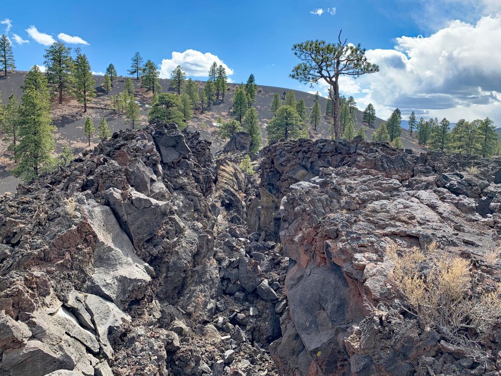
While the walks were relatively short, we had lingered for nearly two hours in the park. As we left the park to drive north toward Utah, we agreed Stop #3 was spectacular, and a return visit was necessary.
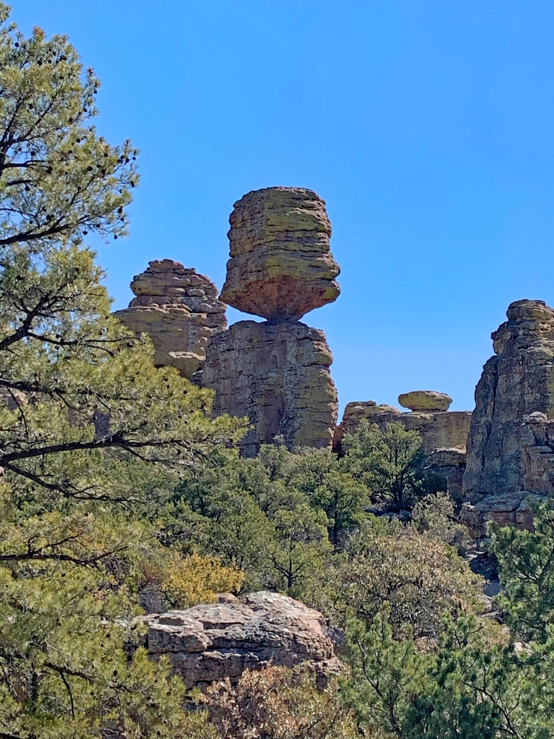
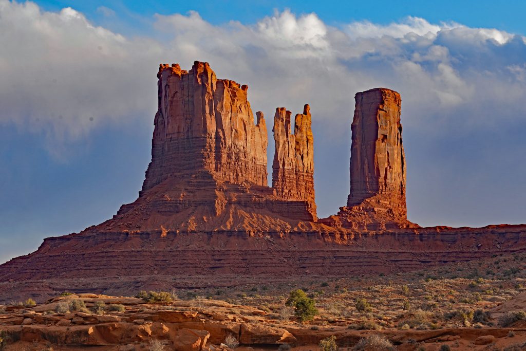
Our drive continued north on Route 89 and then veered to the northeast on Route 160 through Tuba City and Kayenta. After a quick gas fill-up in Kayenta, we turned onto Route 163 as the sun was beginning to set and came upon Monument Valley, the famous landscape seen in many westerns. Because this landmark is on the Navajo Nation Reservation, we knew access off the main highway to the sandstone buttes would be prohibited – the Navajo’s were trying to prevent the spread of Covid-19 in their community. Instead, we stopped in a few highway pullouts to take a few photos, but did not stay long. Plus, the sun was setting and we needed to find a campsite. So, we’ll need to return another day to take the classic photo in Monument Valley where Forrest Gump finished his cross-country run, which lasted 3 years, 2 months, 14 days, and 16 hours, or over 15,000 miles. I’m lucky these days to merely run 1.5 miles at a time. Stop #4 was a feat, but we also consider it an “incomplete.”
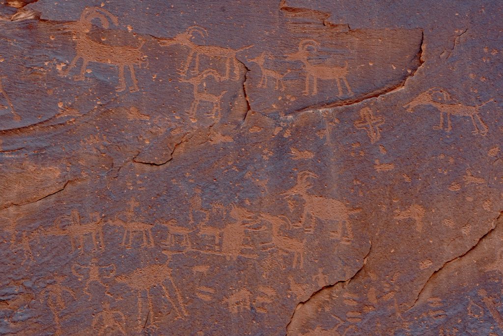
Unsure what to expect further up the road, we pulled into Sand Island Campground outside Bluff, Utah in twilight, hoping there would be an open campsite. We found the campground had plenty of openings, and quickly selected a site that was adjacent to the San Juan River, though it was too dark to see the river. One advantage of our camper van is the short time it takes us to set up or break down at a campsite. In this case, I backed the van into the campsite, checked for level using an app on my iphone (it was close enough), set the parking brake, and we were set up. No need to worry about leveling jacks, or stabilizers, or slide-outs, or chokes. After a quiet night, we woke up the next morning to find ourselves in a picturesque spot on the river, red rock cliffs rising around us, and walked along the river to see Native American petroglyphs. A terrific surprise for Stop #5.
For these two geologists, this day, spent meandering across the Colorado Plateau with stops in Grand Canyon, Sunset Crater, and Monument Valley, was amazing. Each of the five stops held a good surprise. How will we top this?
Final Stats: Driving miles – 307 miles driving, average speed – 50 mph, drive time – 6 hours, miles per gallon – 16.5, walking distance – 2.5 miles (Grand Canyon and Sunset Crater), photos taken (Rob) – 150.
Like this post? Then check out our description of another travel day here,
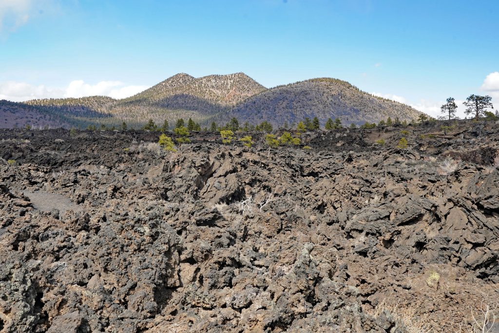
On the A’a Trail with O’Leary Peak in the distsance 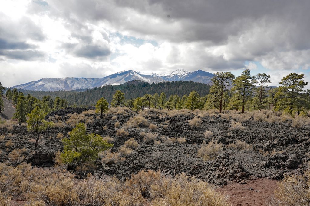
The snow-covered San Francisco Peaks beyond the lava flow 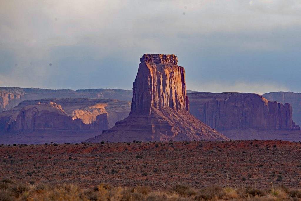
Monument Valley 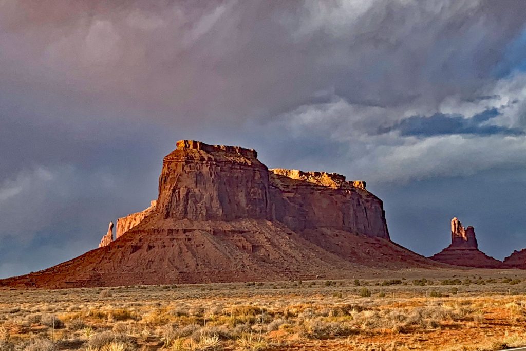
Monument Valley
