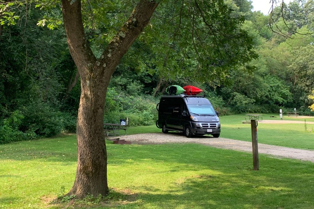
One of the most common questions we get while traveling in our campervan is “How do you get those kayaks up there?” It’s takes a bit of muscle (see Betsy’s kayak nightmare here for more on that) and a little luck (yes, once I dropped the a kayak while hoisting it up and oops, Betsy did not catch it). Our ability to explore waterways as we travel makes the effort worth it. We’ve explored lakes, slow moving rivers, salt water estuaries, and ocean bays in many parts of the country, and paddled by nesting eagles, jumping fish, swimming raccoons, diving pelicans, sunning alligators and unnerving crocodiles.
In July 2019, we camped at Wyalusing State Park in southwestern Wisconsin and paddled some backwaters of the Mississippi River. At that time, the Mississippi was at flood stage and the current seemed rapid, so we opted not to paddle out onto the river. Maybe we were too cautious, but the mystique of the Big Muddy put a little bit of fear into us.
A lot of times in life, I’ve been timid and not tried something new – maybe a menu item at a restaurant, a longer distance hilly bike ride, or a book in a different genre – but later try it and kick myself for not having tried it sooner. I’ve had this thought regarding our almost Mississippi paddle – why didn’t we take on the river?
So, it was with excitement that we returned to the banks of the Mississippi in July 2021, this time adjacent to the Mississippi Palisades State Park near Savanna, Illinois. This portion of the river is within the Upper Mississippi River National Wildlife and Fish Refuge. Many areas along and within the river channel are public lands set aside for fish, wildlife, and plants, as well as a breeding place for migratory birds. This refuge encompasses one of the largest areas of floodplain habitat in the continental US. Similar to 2019, the weather was hot, hazy, and humid. Unlike 2019, the Mississippi River level was relatively low, even though this section of the river is managed by a Corps of Engineers navigation dam. Unlike the wet Northeast US, rainfall totals in the upper Midwest in 2021 have been below average, and therefore, river levels are below average too.
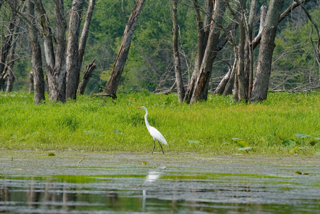
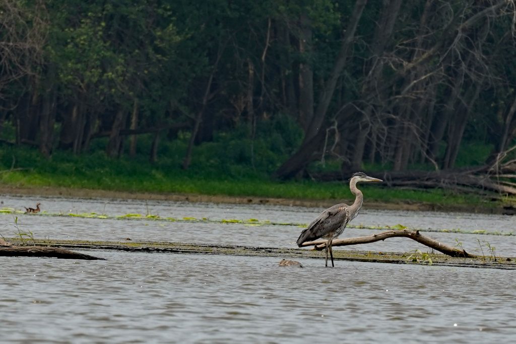
The boat launch at Miller’s Landing, just across the road from Mississippi Palisades State Park, was empty when we arrived mid-morning on a Tuesday. The presence of a large parking lot suggested this was probably a popular spot on the weekend. Launching into the shallow water, we paddled into West Hickory Lake and adjoining unnamed sloughs, which are separated from the Mississippi River by thickly vegetated sand bars. The water was generally shallow across these waters, and abundant bird life (ducks, geese, herons, egrets, and even pelicans) were observed. Interestingly, the birds spooked easily, preventing up close photographs. We’ve had better luck sneaking up close to birds in many other parts of the country.
Heading north from the boat launch, we paddled up a few sloughs, looking for an open channel into the Mississippi, but were thwarted by multiple dead ends. At this point, I wondered whether we’d fail to enter the river proper once again, and my quest to paddle on the Mississippi would have to wait for another day.
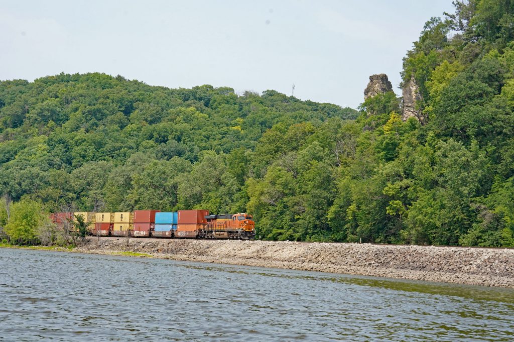
After eating a snack, we turned the boats around and floated south, the wind at our back. To our left, the Mississippi Palisades rose about 200 feet above the east bank of the river. These palisades are located in the geologic region referred to as the “Driftless Area”, because the Pleistocene continental glaciation did not cover this area of Illinois, Iowa, and Wisconsin. As a result, the topography is hilly and rugged. The palisades primarily consist of dolomite and limestone deposited in the Silurian Period more than 400 million years ago. Erosional processes have formed caves as well as rock formations (pinnacles) named “Indian Head” and “Twin Sisters”. Rock climbing is permitted in a few areas within Mississippi Palisades Park.
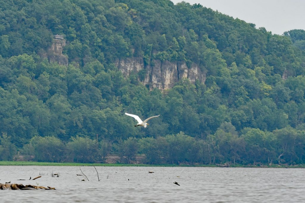
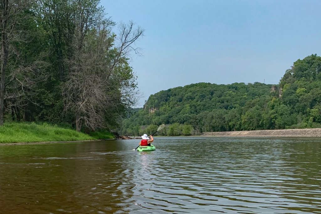
After paddling south a ways, I spotted a narrow channel veering off towards the river, but it was not clear whether the meandering channel would be another dead end. I entered the shallow channel midway between the two banks and promptly ran aground! But, recalling past sedimentology courses, I thought perhaps the channel would be deeper along the outside portions of the meanders where a current, if present, would scour deeper into the sand and silt. So trying again, I slowly paddled within the channel around multiple bends until the Mississippi came into view. And I ran aground again! This time, a submerged sand bar separated the main river from this channel. I hopped out of the kayak into ankle deep water, pushed Betsy’s kayak across the sand bar, and then re-launched myself into the Big Muddy. Success, after a two year wait!
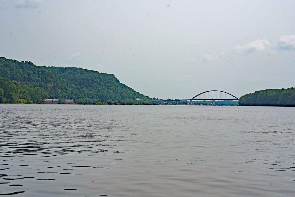
Paddling in the Mississippi was a little anti-climactic. No large tugboats or barges steamed by. A current was present, but manageable. Waves from passing motorboats were similar to prior experiences in busy waterways. Nevertheless, the wide open views of the nearby palisades, the busy railroad tracks paralleling the river, and the truss-style Savanna-Sabula Bridge crossing the river downstream were unique.
It’s likely we’ll have more opportunities to paddle on the Mississippi River in the coming weeks as we drive north on the Great River Road to Lake Itasca and the source of the river. Perhaps we’ll be in the channel when a string of barges powers by and dwarfs (but not swamps) our kayaks. Yet, we’ve already accomplished one of my goals for this leg of our journey. After a two year wait, now we can say we have paddled on the Big Muddy.
